Noxious weeds and invasive plants, from a flight.
A flight shows plants that reach the canopy. You pick the marks. The crew walks those.
Start with the plant: plant, acres, season
How a job runs
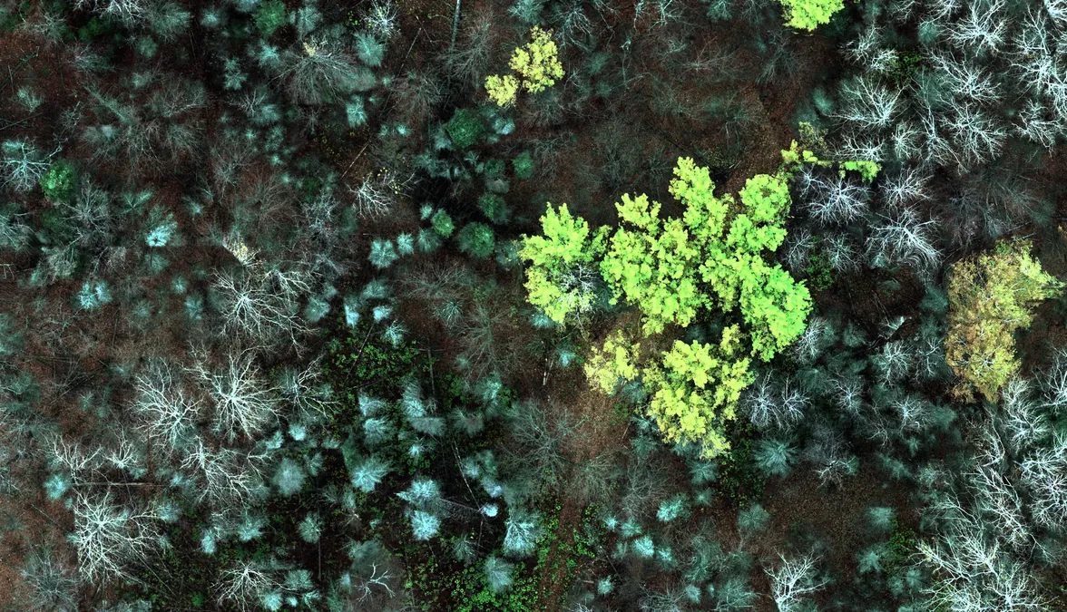
- Scope the flight. The parcels, the plant, and the week it has to happen. For woody plants that hold their leaves, that week is after the surrounding leaves drop. Timing matters more than the camera.
- Put it on a map. The flight becomes a georeferenced picture. A detector proposes candidates where the plant is visible from above. Each mark names the run that made it.
- You decide. A mark stays, or it goes.
- Hand off a list. Reviewed locations, and an export a GIS shop can open. The crew leaves with a route. The walk is the record of what was there.
When it's a walk
- Closed canopy. The flight sees the top, not the stems.
- If the plant never shows from the air in a week you can fly, we say so before the flight.
Bring the plant you manage.
Start with the plant
Write with the plant, the acres, and the season. The answer is whether a flight can see it, and what the first pass would be.